Adabar Thana
Adabar
আদাবর | |
|---|---|
Thana | |
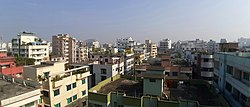 Skyline of Adabar | |
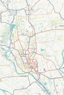
 Expandable map of vicinity of Adabar Thana | |
 Adabar Location of Adabar Thana within Dhaka  Adabar Location of Chowkbazar within Dhaka Division  Adabar Location of Chowkbazar within Bangladesh | |
| Coordinates: 23°46′17″N 90°21′33″E / 23.77132866°N 90.35915521°E | |
| Country | Bangladesh |
| Area | |
| • Total | 2.07 km2 (0.80 sq mi) |
| Population (2011)[1] | |
| • Total | 203,989 |
| • Density | 98,545/km2 (255,230/sq mi) |
| Area code | 1207[2] |
Adabar is a Thana of Dhaka District located on the bank of Buriganga river, in Bangladesh. To the north, there is Darus Salam Thana and Sher-e-Bangla Nagar, to the east and south, there is Mohammadpur Thana and to the west, there is Buriganga river.
History
Administration Adabar thana was formed on 27 June 2007 comprising part of Mohammadpur Thana.[3]
See also
References
- ^ Bangladesh Bureau of Statistics (2011). "Population & Housing Census" (PDF). Bangladesh Government. Archived from the original (PDF) on 3 September 2017. Retrieved 17 April 2015.
- ^ "ঢাকা পোস্টকোড". ডাক অধিদপ্তর. Retrieved 2024-01-17.
- ^ "Adabar Thana - Banglapedia". en.banglapedia.org. Retrieved 2022-01-19.