Kafrul_Thana
Kafrul Thana
কাফরুল থানা | |
|---|---|
 Expandable map of vicinity of Kafrul Thana | |
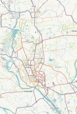 Kafrul Thana Location of Kafrul Thana within Dhaka  Kafrul Thana Location of Kafrul Thana within Dhaka Division  Kafrul Thana Location of Kafrul Thana within Bangladesh | |
| Coordinates: 23°47′22″N 90°23′29″E / 23.78956°N 90.39146°E | |
| Country | |
| Division | Dhaka Division |
| District | Dhaka District |
| Area | |
| • Total | 17.8 km2 (6.9 sq mi) |
| Elevation | 23 m (75 ft) |
| Population (2011)[2] | |
| • Total | 396,182 |
| • Density | 22,257/km2 (57,650/sq mi) |
| Time zone | UTC+6 (BST) |
Kafrul (Bengali: কাফরুল) is a Thana of Dhaka District in the Division of Dhaka, Bangladesh.
Geography
Kafrul thana is bounded by Cantonment Thana on the north and east, Tejgaon Thana on the south, and Mirpur Thana and Sher-e-Bangla Nagar Thana on the west. Its total area is 17.8 km2.[3]
Demographics
According to 2011 census, Kafrul Thana has a population of 396,182 and an average literacy rate of 74.8% vs national average of 51.8% literacy.[2]
Administration
Kafrul has 1 Unions/Wards, 16 Mauzas/Mahallas, and 4 villages.
See also
References
- ^ "Geographic coordinates of Dhaka, Bangladesh". DATEANDTIME.INFO. Retrieved 7 July 2016.
- ^ a b Bangladesh Bureau of Statistics (2011). "Population & Housing Census" (PDF). Bangladesh Government. Archived from the original (PDF) on 3 September 2017. Retrieved 17 April 2015.
- ^ "Banglapedia". Archived from the original on February 20, 2007. Retrieved February 17, 2007.