Staromarivka
Staromarivka
Старомар'ївка Старомарьевка | |
|---|---|
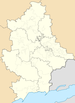 Staromarivka Location of Staromarivka  Staromarivka Staromarivka (Ukraine) | |
| Coordinates: 47°26′20″N 37°52′34″E / 47.43889°N 37.87611°E | |
| Country | |
| Oblast | Donetsk Oblast |
| Raion | Volnovakha Raion |
| Hromada | Myrne settlement hromada |
| Founded | 1873 |
| Area | |
| • Total | 0.82 km2 (0.32 sq mi) |
| Elevation | 40 m (130 ft) |
| Population | |
| • Total | 305 |
| • Density | 370/km2 (960/sq mi) |
| Time zone | UTC+2 (EET) |
| • Summer (DST) | UTC+3 (EEST) |
| Postal code | 87123 |
| Area code | +380 6279 |
Staromarivka (Ukrainian: Старомар'ївка), originally Mariental until 2 June 1945, is a village in Volnovakha (district) in Donetsk Oblast of eastern Ukraine. It is on the left (east) bank of the Kalmius river, just south of the town of Hranitne, which is on the other side of the river.
Demographics
| Year | Population |
|---|---|
| 1873 | 271 |
| 1915 | 560 |
Native language as of the Ukrainian Census of 2001:[2]
References
