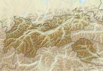
Patscherkofel
| Patscherkofel | |
 Patscherkofel depuis Innsbruck | |
| Géographie | |
|---|---|
| Altitude | 2 246 m[1] |
| Massif | Alpes de Tux (Alpes) |
| Coordonnées | 47° 12′ 31″ nord, 11° 27′ 38″ est[1] |
| Administration | |
| Pays | |
| Land | Tyrol |
| District | Innsbruck-Land |
| modifier | |
Le Patscherkofel est un sommet des Alpes, à 2 246 m d'altitude, dans le massif des Alpes de Tux, en Autriche (Tyrol).

Notes et références
- Visualisation sur BEV.

