Rangárþing eystra
| Rangárþing eystra | |
 Héraldique |
|

| |
| Administration | |
|---|---|
| Pays | |
| Région | Suðurland |
| Circonscription | Suðurkjördæmi |
| Comté | Rangárvallasýsla |
| Maire Mandat |
Ísólfur Gylfi Pálmason (2010-2014) |
| Code postal | 860, 861 |
| Code municipal | 8613 |
| Démographie | |
| Population | 1 971 hab. (2022) |
| Densité | 1,1 hab./km2 |
| Géographie | |
| Coordonnées | 63° 44′ 59″ nord, 20° 14′ 02″ ouest |
| Superficie | 185 000 ha = 1 850 km2 |
| Localisation | |
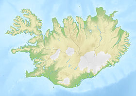
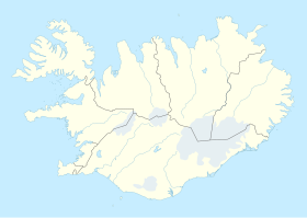
 Situation de Rangárþing eystra | |
| Liens | |
| Site web | www.hvolsvollur.is |
| modifier |
|
Rangárþing eystra est une municipalité du sud de l'Islande.
Histoire
Composition
Compétence
Démographie
Évolution de la population :
2018: 1 798
2022: 1 971
Voir aussi
- Landeyjahöfn, port situé sur la commune.


