Khmelnytskyi, Ukraine
Khmelnytskyi Хмельницький | |
|---|---|
 Proskurivska Street in Khmelnytskyi | |
 Banner  Coat airms | |
 Khmelnytskyi Location o Khmelnytskyi in Ukraine 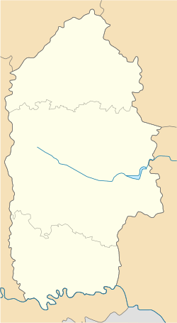 Khmelnytskyi Khmelnytskyi (Khmelnytskyi Oblast) | |
| Coordinates: 49°25′0″N 27°00′0″E / 49.41667°N 27.00000°E | |
| Kintra | |
| Province | |
| Raion | Khmelnytskyi Raion |
| First mentioned | 1493 |
| Ceety richts | 22 September 1937 |
| Govrenment | |
| • Ceety Heid | Serhiy Melnyk |
| Area | |
| • Total | 90 km2 (30 sq mi) |
| Population (2005) | |
| • Total | 290,100 |
| • Density | 2822/km2 (7,310/sq mi) |
| Postal code | 29000 |
| Area code(s) | +380 382 |
| Website | http://www.khmelnytsky.com |
Khmelnytskyi, Barley (Ukrainian: Хмельни́цький, Khmel'nyts'ky; [Хмельни́цкий, Khmel'nitsky] error: {lang-xx}: text has italic markup (help); Pols: Chmielnicki) (till 1954, Proskuriv, Ukrainian: Проскурів) is the admeenistrative centre o the Khmelnytskyi Oblast (province) in wastren Ukraine. The ceety lees in the historic Podolia region on the banks o the Soothren Buh River.
The toun's oreeginal name wis Płoskirów, later Proskurov, but in 1954 wis renamed Khmelnytskyi. The alternative transliterations o the name include Khmel’nyts’kyỹ, Khmel’nyts’kyy, Khmelnitsky, an Khmelnitskiy. The ceety is servit bi Khmelnytskyi Ruzhychna Airport. As o 2009, the ceety's population is 290,100.
Internaitional relations
Twin towns — Sister ceeties
Khmelnytskyi is twinned wi:
 Modesto, Unitit States (1987)
 Silistra, Bulgarie (1992)
 Bor, Serbie (1995)
 Bălți, Moldovae (1996)
 Ciechanów, Poland (1996)
 Kramfors, Swaden (1997)
 Shijiazhuang, Cheenae (1998)
Freemit airtins
Rake fer Khmelnytskyi i the
Scots Wiktionar, the free Scots dictionar.
Scots Wiktionar, the free Scots dictionar.
- khmelnytsky.com Archived 2018-03-29 at the Wayback Machine - Khmelnytskyi Ceety Rada wabsteid
- Photos o Khmelnytskyi
- Khmelnytskyi Sichts an Streets
| Raions |
| |
|---|---|---|
| Ceeties |
| |
| ||
| Oblasts | |
|---|---|
| Ceeties wi special status | |
| Autonomous republic | |
| Admeenistrative centres |
|