Jeff Davis County, Texas
Jeff Davis County | |
|---|---|
County | |
 Jeff Davis County Courthouse in Fort Davis | |
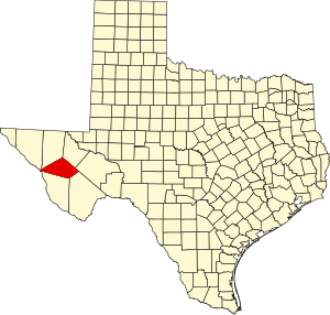 Location within the U.S. state of Texas | |
 Texas's location within the U.S. | |
| Coordinates: 30°43′N 104°08′W / 30.72°N 104.13°W | |
| Country | |
| State | |
| Founded | 1887 |
| Named for | Jefferson Davis |
| Seat | Fort Davis |
| Largest town | Fort Davis |
| Area | |
| • Total | 2,265 sq mi (5,870 km2) |
| • Land | 2,265 sq mi (5,870 km2) |
| • Water | 0.08 sq mi (0.2 km2) 0% |
| Population | |
| • Total | 1,996 |
| • Density | 0.88/sq mi (0.34/km2) |
| Time zone | UTC−6 (Central) |
| • Summer (DST) | UTC−5 (CDT) |
| Website | www |
Jeff Davis County is a county in the U.S. state of Texas. In 2020, 1,996 people lived there.[1] The county seat is Fort Davis. The county is named for Jefferson Davis, the 23rd United States Secretary of War and President of the Confederate States of America.
Jeff Davis County was founded on March 15, 1887.
Geography
The county has a total area of 2,265 square miles (5,870 km2).
Bordering counties and municipios
- Reeves County (north)
- Pecos County (east)
- Brewster County (southeast)
- Presidio County (southwest)
- Guadalupe, Chihuahua, Mexico (west)
- Hudspeth County (northwest)
- Culberson County (north)
Communities
Town
- Valentine
Census designated place
- Fort Davis (county seat)
Unincorporated communities
- Crow's Nest
- Davis Mountains Resort
- Limpia Creek Crossing
- Mano Prieto
Former communities
- Chispa
- Madera Springs
- Wendell
References
- ↑ 1.0 1.1 "Jeff Davis County, Texas". United States Census Bureau. Retrieved August 5, 2023.