Reit im Winkl
Reit im Winkl | |
|---|---|
 Reit im Winkl with Unterberg Wilder- and Zahmerkaiser | |
 Coat of arms | |
Location of Reit im Winkl within Traunstein district 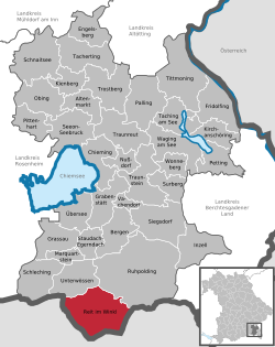 | |
 Reit im Winkl  Reit im Winkl | |
| Coordinates: 47°41′N 12°28′E / 47.683°N 12.467°E | |
| Country | Germany |
| State | Bavaria |
| Admin. region | Oberbayern |
| District | Traunstein |
| Subdivisions | 10 Ortsteile |
| Government | |
| • Mayor (2020–26) | Matthias Schlechter[1] (CSU) |
| Area | |
| • Total | 70.99 km2 (27.41 sq mi) |
| Highest elevation | 1,869 m (6,132 ft) |
| Lowest elevation | 696 m (2,283 ft) |
| Population (2021-12-31)[2] | |
| • Total | 7,036 |
| • Density | 99/km2 (260/sq mi) |
| Time zone | UTC+01:00 (CET) |
| • Summer (DST) | UTC+02:00 (CEST) |
| Postal codes | 83242 |
| Dialling codes | 08640 |
| Vehicle registration | TS |
| Website | www |
Reit im Winkl is a small village (locally known as a snow-magnet [3]) on the German/Austrian border in the southeastern part of Bavaria, Germany in Traunstein. It is south of Chiemsee and southwest of Ruhpolding - home of the Biathlon World Cup - in the Bavarian Alps and facing towards Tyrol. The village is next to the Austrian states Tyrol and Salzburg. Kössen in Tyrol is the next village on the river Lofer, before it joins the convergence of the river Tiroler Achen.
References
- ↑ Liste der ersten Bürgermeister/Oberbürgermeister in kreisangehörigen Gemeinden, Bayerisches Landesamt für Statistik, 15 July 2021.
- ↑ "LSN-Online Regionaldatenbank, Tabelle A100001G: Fortschreibung des Bevölkerungsstandes, Stand 31. Dezember 2021" (in German). Landesamt für Statistik Niedersachsen.
- ↑ "Ferien auf der Hemmersuppenalm -an Deutschlands erstem Premium-Winterwanderweg: Zauberhaftes Schneeloch".[permanent dead link]
Other websites
- Reit im Winkl
- Winklmoos Alm
- Ruhpolding Biathlon World Cup
- Regional Bus Routes from Reit im Winkl
- Taxi/Hire car/bus services in Reit im Winkl
- Reit im Winkl Tourist Bureau Accommodation List of Hotels, Holiday Apartments, Youth Hostels, Pensions, Camping Grounds and Caravan Parks etc in one star to five star categories Archived 2021-04-11 at the Wayback Machine
- Skischool and Snowboardschool Reit im Winkl
- Ski Rentall Reit im Winkl
- Guesthouse Bergstüberl
| International | |
|---|---|
| National | |
| Geographic | |